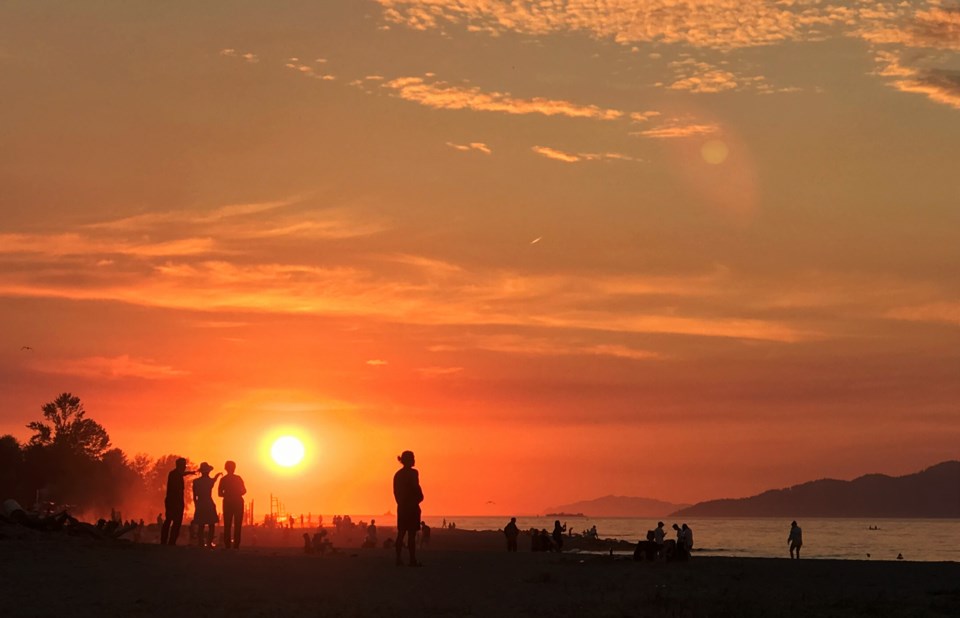
With summer vacation ending for those going to school, it might feel like the season will start winding down, but that's not the case this week.
Temperatures will stay in the mid-20s all week and while some cloud is expected later in the week, this shouldn't affect the heat too much.
Monday is likely the coolest day of the week with a mix of sun and cloud at the beginning of the day and temperatures staying in the high teens until mid-morning. But it should peak at 23 C in the mid-afternoon when things clear up.
Further inland, temperatures will be a couple of degrees higher, according to Environment Canada.
The skies should stay clear for the mid-week stretch with highs of 25 C and 26 C on Tuesday and Wednesday (rising to 30 C further inland). Wednesday may even see a record broken in Vancouver, as the highest temperature ever recorded in Vancouver on Aug. 31 is 26.7 C in 1950.
Some cloud is expected to roll in Wednesday evening but isn't expected to bring any precipitation with it.
Thursday, Friday and Saturday are all forecast to be similar with highs still hitting 24 C with a mix of sun and cloud.
Nights this week are all fairly consistent with temperatures expected to be 16 C give or take a degree.
These temperatures are all well above the average for late August, which tends to hover around 21 C.


