A mapping project is underway that will result in a more colourful and effective way to promote Delta. In search of a new map to emphasize economic development, the Delta Chamber of Commerce has contracted Mountain Media to come up with a unique, not-to-scale illustration showing enhanced buildings, landmarks and landscapes of Ladner, Tsawwassen and North Delta.
Not only will a large version of the map replace the antiquated tourism billboard at the end of the ferry causeway, but smaller, foldup versions will be available for businesses. Posters will also available to put on walls for both information and artwork.
Tasked by Mountain Media to draw the Delta map is Montreal artist Jean Louis Rheault, who has done many similar projects around the world.
Calling the colourful illustrations geo-pictorial maps, Rheault is now doing his research, learning about Delta's three communities.
He told the Optimist the map would be an invaluable promotional tool.
"Delta doesn't really have any kind of map like this at all, just regular maps. Those aren't really very interesting."
Businesses that choose to participate will be highlighted with their logos in the information section of
the document Rheault said his is a rare and highly specialized art form, attempting to deliver certain messages his clients want to convey and emphasize.
A map highlighting certain places will be challenging in Delta because it's made up of three communities separated by vast amounts of farmland and Burns Bog.
Having drawn the unique maps for over 30 years, Rheault's talents are to condense those areas without eliminating their own significance.
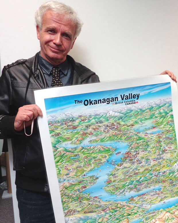
One example he showed was a map he drew of northern Arizona, an area with communities separated by expanses of desert and the Grand Canyon. Most recently he completed a map of the Okanagan to highlight tourism attractions.
Rheault has made the illustrations for small towns to major cities around the globe, each identifying all landmarks but with a special emphasis on particular features or places by adding extra size.


