As the weather warms up, there’s nothing better than to get out on the trails and enjoy the fresh air.
However, it’s still very much winter on the higher slopes, so until the snow melts out later in the summer, it’s best to stick to the lower trails.
The hike described here highlights a local “all season” hiking option.
DeBoville Slough and Minnekhada
14.5 km
250 m ascent
This scenic three- to four-hour loop includes wide open vistas from the dykes and the spectacular High Knoll viewpoint in Minnekhada Park.
From the end of Victoria Drive, take the wide path that follows the north bank of DeBoville Slough.
This entire stretch is a great place for spotting wildlife.
The trail curves northward after the slough to follow the banks of the Pitt River, with nice views out to the Golden Ears Range.
Continue all the way to the end of the dyke path and then pick up a much-less distinct trail that climbs up to the right of a rocky prominence. The trail takes you up to Addington Lookout, which offers fine views out over the marsh.
Continue upward to a T-junction where you’ll turn right.
Shortly after passing a side trail to the Low Knoll, you’ll come to another trail junction with a large tree stump.
Turn right there and, at the next trail junction, turn right again onto the trail, which takes you up to the High Knoll.
After a steep climb you’ll be rewarded by a spectacular viewpoint encompassing the lakes below and beyond.
Retrace your steps back from the viewpoint to the junction with the large tree stump and turn right there.
The gnarly trail leads down to the causeway, which splits the two lakes.
After crossing the causeway, turn left and then keep to further left veering options to hug the lake shore.
When you reach the picnic area near Minnekhada Lodge, head up to the road and then turn left (you can check out the lodge going right if you have time).
At the end of the drive, turn right onto Oliver Road, following the road as it becomes Cedar Drive all the way back to the start point.
The roads are single lane, so be aware of traffic.
Also, Oliver Road is a frequent haunt for the local bear population, so be super alert for Yogi and his friends there.
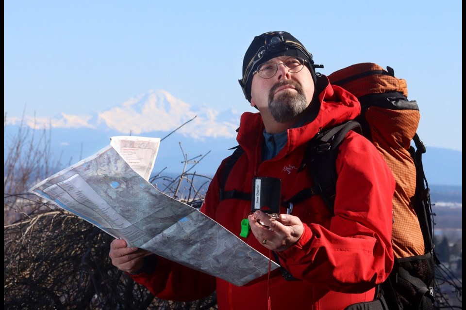
Coquitlam SAR Safety Tips: (3 T’s)
TAKE “THE ESSENTIALS” and other necessary equipment:
- flashlight with spare batteries
- extra food and water
- paper map/compass/GPS
- emergency shelter
- signalling devices (whistle, air horn, phone)
- extra clothing (to survive a night out)
- first aid kit
- pocket knife
- fire starter
- bug repellant/sunscreen
TRAIN: Make sure that you and the people you are hiking with (never go alone) are in good enough physical shape to do the hike comfortably and are also mentally prepared. Everyone should have the travel skills needed for the route. You should fully research your route beforehand and check the weather forecast.
TRIP PLAN: Make sure someone will come to look for you if you don’t return, by providing a trip plan to a responsible person who will raise the alert (i.e., call 911). The trip plan can be on old-fashioned paper or in electronic form. To create an online trip plan use the AdventureSmart App or the Overdue App (with maps).
Please consider donating to Coquitlam Search and Rescue in its 50th year. Go to coquitlam-sar.bc.ca to make a contribution.


