
Broadway has been in the news a lot these days.
With a brand new subway being built (the first of the boring machines got underway Oct. 7) and the 'game changer' Broadway Plan approved earlier this year, it's going to be a transformative decade for the major Vancouver roadway.
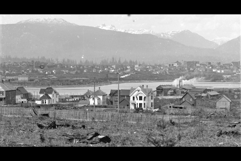
That said, as one of the city's major roads with few heritage buildings or sites being saved for historical value, it has seen a fair amount of change over the decades, as shown in these historical photos from the Vancouver Archives.
As the city grew from Gastown, Broadway, especially the ends of it, developed at different paces. In one photo from the 1920s, a greenhouse operation in East Vancouver can be seen, with virtually nothing around it apart from forests and fields.
However, at the same time, photos from the 1890s show a suburban neighbourhood already well underway, with businesses and shops. Broadway is still a dirt road at the time, with wooden sidewalks keeping pedestrians out of the mud. In the distance, the city's core can be seen, and it's not much more developed than Broadway and Cambie.
The captions of each photo have a description and a general (or specific) location, so comparisons to what stands today are possible.
Interested in finding more archival photographs of Vancouver? Search the City of Vancouver Archives’ online database. For more information about the Archives, its holdings, and how to research, visit the Archives’ website.


