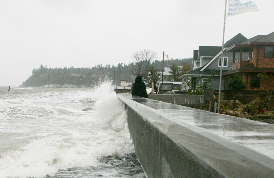
The current weather forecast indicates a potential for high water levels to begin tomorrow (Nov. 17) in Boundary Bay and Beach Grove as a result of a King Tide, storm surge and high winds.
The high water level is anticipated to occur at 8 a.m. and there is potential for possible flooding based on the projected water levels, according to the City of Delta, which notes flooding will be highly dependent on the timing of the winds and wind speed.
Staff have been following the Staged Flood Preparedness and Response Plan for Boundary Bay and Beach Grove and temporary protection measures have been taken at all beach access locations, while changeable message sign boards have been located at key intersections to inform residents of the anticipated high water and winds
An incident command post and staging area will be set up and staffed by engineering, fire and police personnel.
Environment Canada has issued a wind warning for Metro Vancouver with gusts of 90 km/h possible.
“A rapidly deepening area of low pressure will pass north of Vancouver Island on Tuesday morning while a fast moving cold front crosses the south coast.
“In advance of the cold front, strong sustained southeasterly winds are expected for coastal areas in proximity to the Strait of Georgia and Haro Strait. As the front races across the area, widespread and powerful gusty southerly winds will occur. They may toss loose objects or cause tree branches to break.
“Winds will ease considerably following the passage of the cold front but will remain gusty into Tuesday afternoon.”


