It wasn’t a record-breaker but it came close.
Prince George woke up to a frigid morning Friday and the weather station at the airport reported a low of -39 C, one shy of the record -40 C set in 1957.
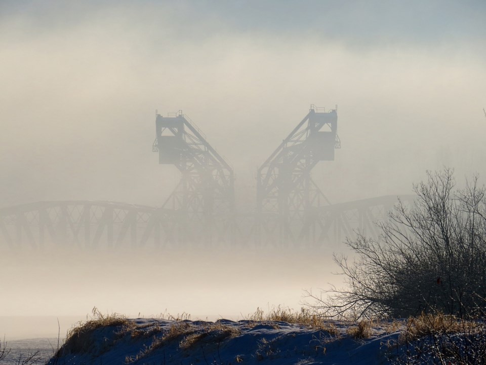
The wind chill this morning was -44 C.
The extreme cold warning remains in effect for the central Interior.
Today’s high in the city will only reach -28 and frostbite to exposed flesh can occur in minutes. Wind chills will be -36 C this evening, dropping to -49 C overnight.
Normal for this time of year is a high of -6 C and a low of -14 C.
Saturday’s high will be -27 C, with the low dipping to -31 C, and it won’t get much warmer on Sunday, with a high of -24 C and a low of -30 C.
The Arctic air is affecting all of Western Canada and temperatures all over B.C. are expected to remain below zero through most of the weekend.
Temperatures will moderate somewhat on Monday, with a high on -18 C and a low of -19 C.
Snow is in the forecast for Monday and Tuesday.
If you have to travel the highways, take an emergency kit with blankets or sleeping bags, candles in metal containers and food and water.


