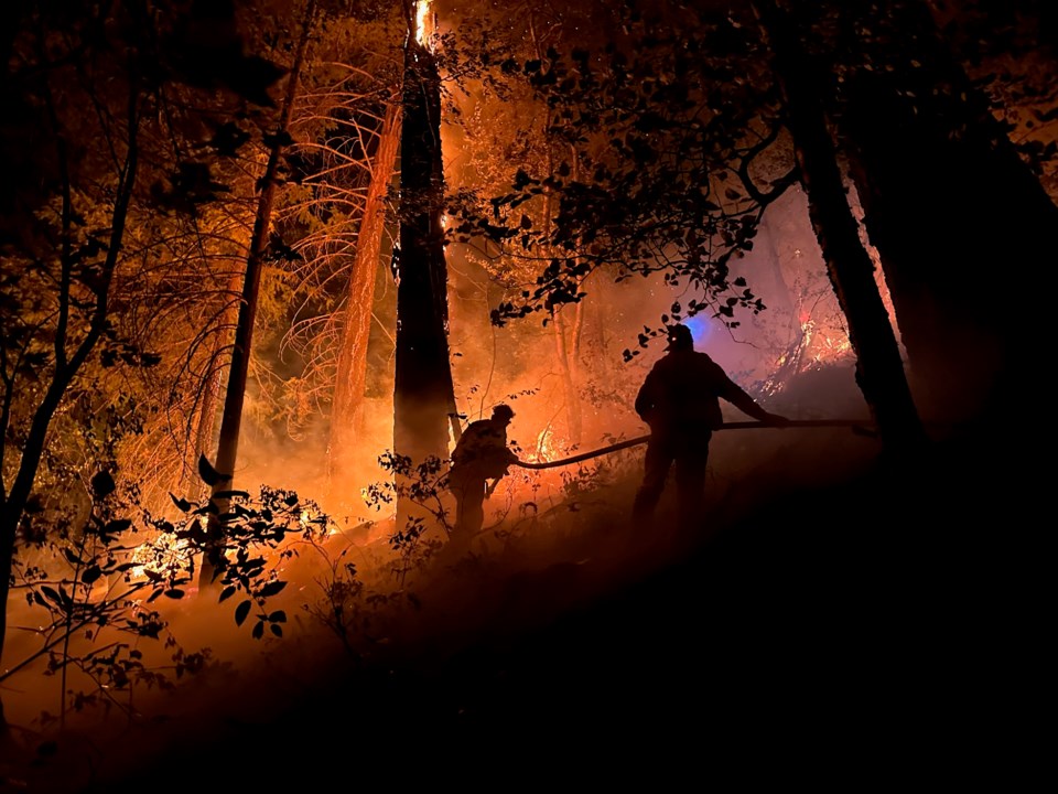
A wildfire north of Pemberton has destroyed more than 43 properties near Gun Lake, the Squamish-Lillooet Regional District (SLRD) confirmed Wednesday afternoon.
In a release issued Sept. 13, the regional district said another 11 properties in Electoral Area A experienced “partial structure loss” this summer due to the Downton Lake blaze.
“Our thoughts are with residents who have been impacted by this wildfire,” said SLRD board chair Jen Ford.
“This has been a very distressing time and these property owners who have suffered such great loss and still have many challenges ahead,” she acknowledged. “We know residents have been anxiously awaiting news about the status of their properties, and updates on when they can re-enter the area.”
The announcement comes on the same day the SLRD downgraded the evacuation order related to the Downton Lake wildfire to an evacuation alert. The order had been in place since Aug. 31 and applied to properties on the west side of Gun Lake, the south side of Lajoie Lake and near Gun Creek Road. The SLRD also rescinded an evacuation alert previously in place for properties in the Marshall Lake area, north of Carpenter Lake, and east of Tyaughton Creek.
Though the dismantled evacuation order means Electoral Area A residents are now permitted to return to their properties, the SLRD urged those planning their re-entry to practise caution, and asked non-residents to avoid visiting the Upper Bridge River Valley for the time being.
“Even though the threat of wildfire may have subsided, there are still hazards in the area,” warned Ford in the release.
“[O]ut of respect for the people who have been so greatly affected by this wildfire, we ask non-residents to please avoid the area, as we give space to those who need time and support to process the damage caused by this fire.”
More information about evacuation alerts and orders is available on the SLRD’s website. The district also published an online re-entry guide for property owners affected by the wildfires.
“We thank all SLRD residents for their patience during these challenging times,” Ford added. “The safety of our residents and first responders is always our primary concern.”
The SLRD only determined the total number of structures lost to the fire after the district’s chief building official managed to complete Rapid Damage Assessments (RDA) in the area. The initial assessments were conducted with support from BC Wildfire Service.
“Due to the scope of loss, and the ongoing dangerous conditions in the area, this work was completed over multiple days, when it was deemed safe to do so,” the regional district explained.
The assessments include individual reports and photos compiled for each property. According to the release, SLRD staff reached out to landowners by phone to provide updates about the status of their properties, before emailing completed RDA reports and pictures to those property owners.
The extensive structure loss recorded in the Gun Lake and Gun Creek communities includes both primary structures and outbuildings, the SLRD noted.
The regional district previously confirmed on Aug. 3 that at least five homes near Gun Lake had been lost to the out-of-control wildfire. SLRD staff estimated there were approximately 192 properties in the immediate vicinity of the blaze, and hundreds more nearby. In an Aug. 21 update, the regional district acknowledged additional structures had burned down on the west side of Gun Lake, but could not confirm an exact number at the time.
The BC Wildfire Service estimated the Downton Lake fire has reached 9,393.4 hectares in size as of Sept. 13. Officials suspect lightning is to blame for the blaze that was first identified on July 13.


