Delta’s slow pace of population growth is a problem that’s reflected recent electoral boundary changes, says a city councillor.
Dylan Kruger told the Optimist the rate of growth, consistently lower than neighbouring cities across Metro Vancouver, has resulted in Delta’s representation in Ottawa now diluted through recent federal riding boundary changes that include portions of Surrey in the Delta riding.
South Delta, which is growing at a significantly lower rate than North Delta, has seen its representation eroded by the inclusion of parts of North Delta in the updated provincial riding boundaries, he said.
“While I’m happy to see that Delta voices will not be split into multiple new ridings, it is disappointing to see Delta’s representation in Ottawa eroded with recent boundary changes. In addition, South Delta’s low rates of growth now means that Pinewood residents will have to travel all the way to Ladner to visit their ‘local’ MLA,” said Kruger.
The B.C. government last week said in response to recommendations from the independent Electoral Boundaries Commission, the province is introducing amendments to the Electoral Districts Act, which will see several new provincial electoral districts added and others reconfigured.
The ridings of Delta North and Delta South are among those to undergo changes.
Part of the Delta North electoral district will be moved to Delta South with the area south of 64th Avenue to be included as part of Delta South.
The commission’s report notes the change distributes the population of the two ridings more evenly and creates room for anticipated population growth in Delta North.
Meanwhile, the Federal Electoral Boundaries Commission for British Columbia recently released a report with updated recommendations on proposed federal electoral boundary changes, reversing an earlier recommendation to carve up the Delta riding to put parts into Richmond and Surrey.
As not lumping parts of Delta into other ridings would leave the electoral district under quota in a field of over-quota electoral districts to the east, an area of Surrey, near the intersection of Highway 10 and Scott Road is to be added to the Delta riding.
Kruger added, “Our job as elected officials is to ensure that growth is balanced and that we treat our entire city equally. We are expecting a million more people in Metro Vancouver in the next 20 years. Growth is inevitable. Delta needs to take its fair share to avoid further erosion of political representation and cuts to essential services such as public transit and healthcare that our residents rely on.”
He also noted that communities that grow receive transit improvements, such as the R6 RapidBus that is coming to Scott Road. Communities that remain stagnant receive transit cuts, like the East Ladner commuter bus that is no longer in service, he said.
According to the latest Census figures, the city’s population grew from 2016 to 2021, from 102,238 to 108,455. North Delta’s population increased at a faster rate (8.5 per cent) than Ladner (3.7 per cent) and Tsawwassen (3.5 per cent).
North Delta now has 56 per cent of Delta’s total population.
The city’s housing and social action plans predict the majority of growth will continue to occur in North Delta.
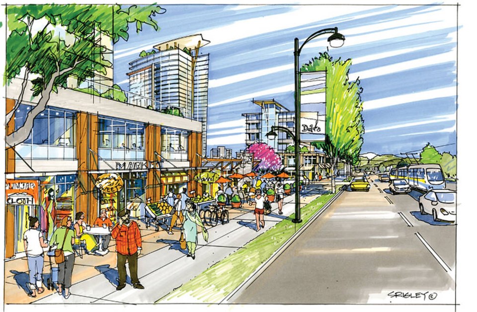
The current North Delta Area Plan focuses growth on the Scott Road Corridor, the Nordel Social Heart, 84th Avenue and 72nd Avenue with a series of mixed-use nodes.
As far as housing, several high-density projects have been approved or are currently in the application stage in North Delta, including the Scott Road corridor.
Meanwhile, the city is currently working on the Townline Special Development Area Concept Plan.
Also called the Townline Node, the “triangle” is bounded by the City of Surrey to the north and east, the railway line to the west and 92nd Avenue to the south.
It’s anticipated the plan will accommodate up to 2,200 new residential units with a range of building heights.
The long-term development vision is also consistent with the final recommendations by the Mayor’s Housing Task Force for Scott Road, which identifies several new districts along the corridor.


