The City of Delta is hoping to make Ladner Village safer from flooding, but the price tag will be huge.
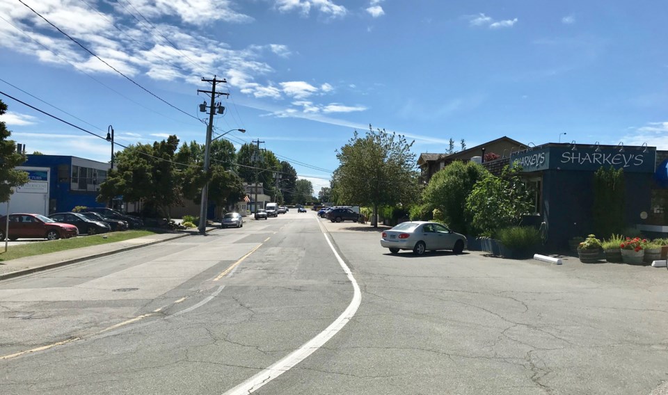
The waterfront runs for approximately 800 meters between Ashbury Place and Elliott Street along the Fraser River bank.
Having secured funding from the Union of British Columbia Municipalities (UBCM) Community Emergency Preparedness Fund, the city plans to develop a conceptual design for the Ladner Village Flood Protection Project, aimed at protecting the community from future sea level rise and to coincide with the long-term vision for revitalizing the Ladner waterfront.
Among other things, the improvements include dike upgrades along Chisholm Street to meet provincial standards, as well as raising and upgrading the street to increase its elevation.
A public survey was wrapped up in early December with a final report to come back to council in early 2023.
According to the city, some lower sections of the flood protection infrastructure require raising between 1.9 metres and 2.7 metres for 2100 estimated flood levels.
Based on a detailed analysis, recommended minimum dike crest elevations are between 4.6 metres and 4.9 metres.
Upon adoption of a conceptual design, the city will seek further funding from senior government levels to assist with the detailed design and construction of the flood protection improvements.
Depending on the selected alignment, and the amount of demolition and temporary works required for existing buildings, the total costs are in the range of $50 million-to-$100 million.
Meanwhile, the city has been working on a flood management strategy for the River Road West area.
Given the costly nature of that project, significant federal and provincial funding assistance will be required to move the final design forward, according to the city, which notes it is important to have a design ready, should funding become available.
The city’s plan is to address long-term flood protection while creating a series of roadway changes from 34th Street to Ashbury Place.


