VICTORIA — A spell of unseasonably warm weather in the forecast for many parts of British Columbia is raising concerns for further flooding and wildfires.
John Innes, a professor in the faculty of forestry at the University of B.C., says he's especially worried about the wildfire risk in the northeast as temperatures rise.
He says it looks like a "serious weather event" is occurring, with a ridge of pressure expected to produce prolonged heat with little to no rain in the forecast.
There are nearly 50 fires burning throughout B.C., most of which are small, but the area they've scorched has grown significantly in recent days.
The latest update posted by the BC Wildfire Service shows the burned area of about 11,500 hectares is more than triple the 10-year average for the same time of year.
The vast majority of the area scorched is in northeastern B.C., where the Peace River Regional District is maintaining evacuation orders and alerts in response to two fires, one of which spans the province's boundary with Alberta.
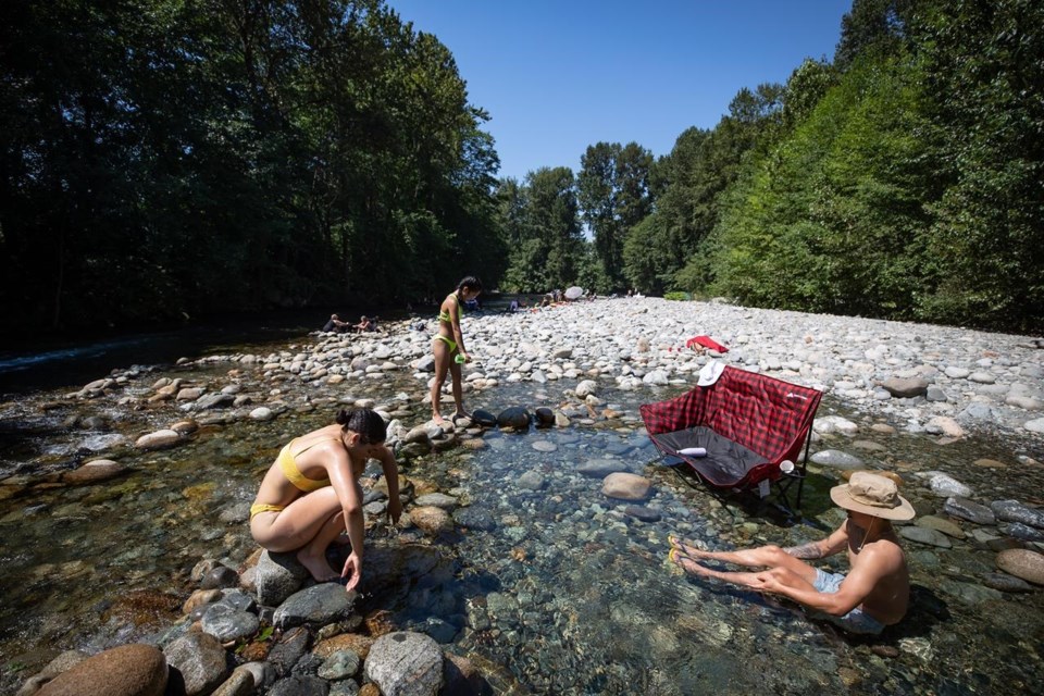
In Fort St. John, where a 28-square-kilometre wildfire is burning nearby, the temperature is expected to hit 32 C on Sunday.
Environment Canada is also forecasting a high of 34 C in Kamloops on Sunday and just one degree cooler in Prince George.
Innes says B.C.'s snowpack typically melts fairly slowly, particularly in forested areas, which helps keep moisture in the ground until later in the summer.
But if the snow melts quickly, as it has been so far this spring, he says the meltwater will run off, raising the risk of flooding and subsequently wildfires.
Dave Campbell with B.C.'s River Forecast Centre told a briefing on Monday that above-seasonal temperatures have burned through about a quarter of the province's snowpack, a pace that was already much faster than normal.
The centre is maintaining just one flood warning, for Cache Creek, but much of the rest of B.C.'s Interior is covered by lower-level high streamflow advisories.
There are also flood watches in effect for the Quesnel and Salmon rivers.
The province's snow basin map shows snowpack ranging from a low of 47 per cent of normal in the Skagit area to 235 per cent in the Liard region.
It shows snowpack in the Lower Thompson basin is at 171 per cent of the normal level for this time of year, while in the Okanagan it's at 144 per cent of normal.
However, the bulletin posted Tuesday notes the snowpack has significantly changed since the measurements were taken last week, given the warm weather.
Emergency Management Minister Bowinn Ma says the forecast does not call for a heat dome like the one that killed hundreds of people in the summer of 2021.
But heat can still be a risk to human health and the government will support communities by opening cooling centres if needed, she told media on Tuesday.
This report by The Canadian Press was first published May 9, 2023.
The Canadian Press


