B.C. continues to see drought conditions persist, with hydrologists reporting the lowest snowpack in more than 50 years.
The snowpack is averaging 63 per cent of normal across the province as of April 1 — the lowest average since 1970. That figure shows a 25 per cent decrease from the same time last year.
According to the B.C. River Forecast Centre, typically 95 per cent of the snow the province will see has fallen by April 1.
Dry weather conditions persisted through March, with many regions in the north and Interior regions recording recording low precipitation last month.
“It is possible for snowpack to continue to climb into May if it is a cold and wet spring,” Jonathan Boyd, hydrologist, River Forecast Centre, said during a press conference.
He added that B.C. has been under El Niño conditions through the winter that has created a warmer and drier weather than normal.
Flood risk forecast to be low
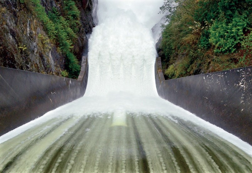
As a result of the shrunken snowpack, the flood risk around B.C this season is expected to be low, but localized flooding from extreme rainfall, especially from smaller creeks and tributaries is still possible.
Elevated drought risk for the upcoming spring and summer is also expected due to the snowpack, and seasonal runoff forecasts combined with seasonal weather forecasts and lingering drought from last year.
As of April 1 in the region, the North Thompson snowpack basin is at 71 per cent of normal, down five per cent from March 1, the South Thompson is down 11 per cent at 79, while the Okanagan basin is down seven per cent from March.
The Similkameen basis held steady at 62 per cent of normal, the Lower Thompson is down eight per cent and the Lower Fraser is up two per cent from last month’s snowpack readings.
The Fraser River basin at Hope is also at a 54-year low, at 61 per cent.
Boyd said previous record low snowpack years for April 1 in B.C. are 2015 (66 per cent of normal), 1981 (68 per cent) and 1977 (70 per cent).
Feds warn of another devastating wildfire season
In a briefing Wednesday, the federal government warned warm, dry weather could raise the risk of another devastating wildfire season in Canada. A briefing document forecasting the fire risk for the spring shows conditions are already ripe this year for an early and above-normal fire risk from Quebec all the way to British Columbia in both April and May.
The forecast is based on having had a warmer than normal winter with minimal snow and widespread drought particularly in the Prairies. There is also a high probability for above normal temperatures in April, May and June.
There are already about 70 fires burning, mainly in B.C., Alberta and the Northwest Territories. Most of those are actually fires that started in 2023, smouldered underground throughout the winter and have since re-emerged.
With files from the Canadian Press


