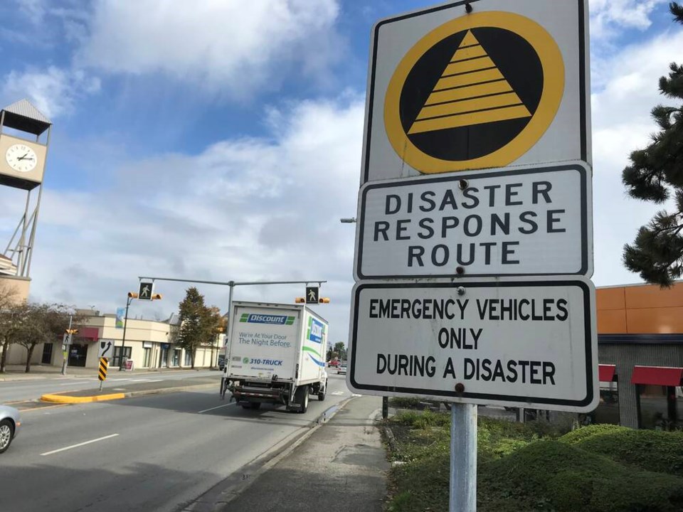
The City of Delta has a high probability risk in a coastal flooding scenario, but is at lower risk of low or moderate ground shaking in an earthquake compared to Richmond, while Burns Bog has a lower probability of wildfire compared to vast areas on the North Shore.
Those are some of the findings in Metro Vancouver’s Regional Multi-Hazard Mapping Project, which includes the completion of regional single-hazard maps, data quality rating maps, as well as multi-hazard maps for coastal flooding, river flooding, earthquakes and wildfires.
A recent report to the Regional Planning Committee says the region, situated on the Fraser River delta with many forested areas and steep slopes, as well as located in one of the most seismically active zones in Canada, is a risk to a variety of natural hazards.
In a high-probability scenario, approximately 63 per cent of Metro Vancouver’s land base would be susceptible to one to three hazard types of the four hazards assessed in the study.
The report says the study results will allow Metro Vancouver and member jurisdictions to consider and integrate regional-scale hazard information for several hazard types into planning analysis, projects and models for the first time.
“The impacts of climate change are already affecting the region and are projected to become more frequent and severe over time, affecting the region’s communities, infrastructure, and natural environment. Climate change can also amplify the impacts of natural hazards; for example, sea level rise can increase the severity of coastal floods, and warmer temperatures combined with longer drought periods can increase the threat of wildfires,” the report adds.
Understanding the region’s hazardous areas is a critical first step towards making informed land use decisions.
While the project results have some limitations for use at the local level, the hazard maps can be used to supplement existing local hazard data, identify and prioritize areas for further detailed local hazard analysis, identify locations that may be susceptible to multiple hazards, as well as highlight opportunities for collaboration between member jurisdictions where hazards extend across boundaries, the report also notes.
Meanwhile, the City of Delta is planning to undertake its own comprehensive hazard and risk vulnerability assessment. The city last fall issued a request for proposals to conduct an analysis to identify and assess potential hazards that pose a threat.
Those factors include climate change and atmospheric hazards such as extreme heat, cold spells, rainstorms and drought incidents that are already increasing in frequency and severity, increasing the risk of wildfire and other hazards.
The goal for Delta is to enhance disaster prevention and mitigation, preparedness, response and recovery efforts.


